
Tuesday
Apr012014
July 10, 1839 - "San Bernardino" on U.S. Map
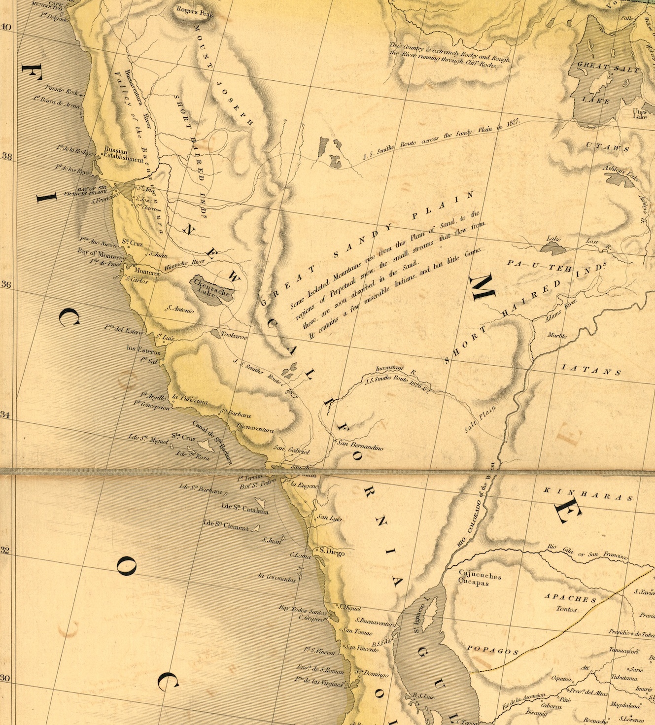
1839 Map of the U. S.
This map was created by David H. Burr, Geographer to the House of Representatives of the U. S., and was entered in the Clerk's Office of the District Court of the District of Columbia, July 10, 1839.
This is the first time the words, "San Bernardino", appeared on a U. S. map.
⬅︎
San Bernardino is located in the center of the map just above the dark horisontal line.
The routes traveled by Jedediah Smith in 1826 and 1827 are also annotated on this map.
Note: To view the entire map of the United States click on the above map or visit the Library of Congress site at http://www.loc.gov/resource/g3700.rr000060/
 Share Article